File:Дорога через Тилигульскую пересыпь.jpg
From HandWiki

Size of this preview: 800 × 535 pixels. Other resolutions: 640 × 428 pixels | 4,632 × 3,096 pixels.
Original file (4,632 × 3,096 pixels, file size: 985 KB, MIME type: image/jpeg)
Summary
| Description |
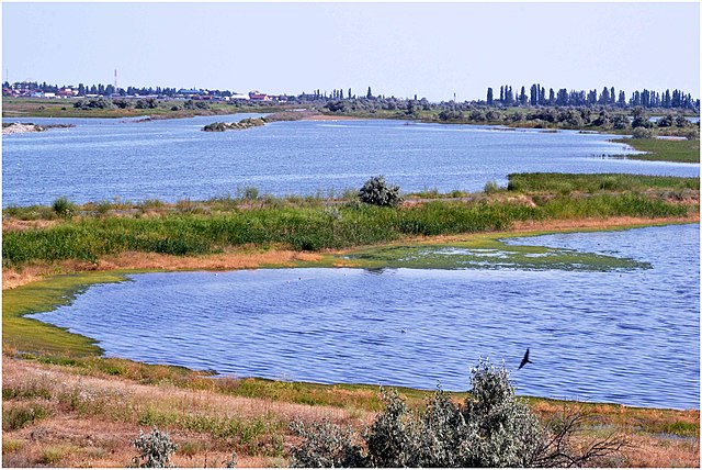
Українська: «Тилігульський», Березівський та Лиманський р-ни
|
||
| Date | |||
| Source | Own work | ||
| Author | Виктор Красюк |
| Camera location | | View this and other nearby images on: OpenStreetMap |
|---|
Licensing
I, the copyright holder of this work, hereby publish it under the following license:
This file is licensed under the Creative Commons Attribution-Share Alike 4.0 International license.
- You are free:
- to share – to copy, distribute and transmit the work
- to remix – to adapt the work
- Under the following conditions:
- attribution – You must give appropriate credit, provide a link to the license, and indicate if changes were made. You may do so in any reasonable manner, but not in any way that suggests the licensor endorses you or your use.
- share alike – If you remix, transform, or build upon the material, you must distribute your contributions under the same or compatible license as the original.
This image was uploaded as part of Wiki Loves Earth 2020.
|
 |
File history
Click on a date/time to view the file as it appeared at that time.
| Date/Time | Thumbnail | Dimensions | User | Comment | |
|---|---|---|---|---|---|
| current | 08:43, 17 July 2020 | | 4,632 × 3,096 (985 KB) | imagescommonswiki>Виктор Красюк | Uploaded own work with UploadWizard |
File usage
The following file is a duplicate of this file (more details):
- File:Дорога через Тилигульскую пересыпь.jpg from Wikimedia Commons
The following page uses this file:

